Participants gather for the opening session of the G-WADI Global Conference
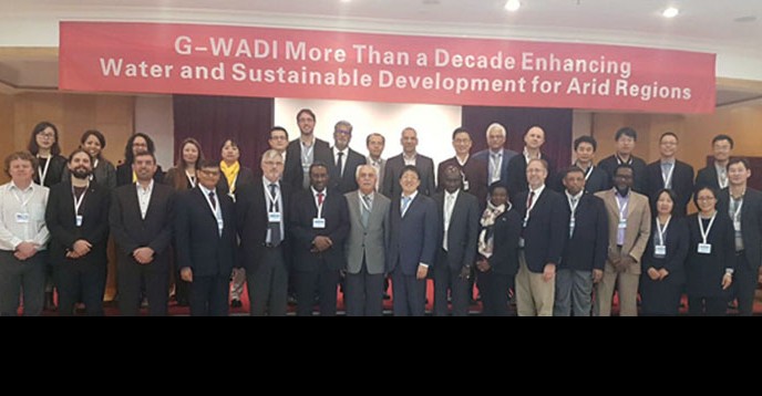
The Global Network on Water and Development Information for Arid Lands (G-WADI) celebrated a decade of achievements with an international conference entitled “G-WADI: More than a decade enhancing water and sustainable development for arid regions? The meeting took place on 25-27 October 2016 in Beijing, China.
G-WADI was established by UNESCO’s International Hydrological Programme (IHP) in 2004 to strengthen the global capacity for management of water resources in arid and semi-arid regions. This initiative brings together an expert scientific network of UNESCO regional centres and IHP National Committees to promote global capacity for the management of water resources in arid and semi-arid areas. Last week’s conference gathered scientists from all regional G-WADI networks from the developed and developing world, sharing experiences and technological developments related to hydrology in water scarce areas.
In its opening session, the G-WADI’s advisory members and experts reflected on the achievements of G-WADI over the past twelve years. These include the formation of five regional expert networks, the creation of the G-WADI GeoServer ?an open source server to share geospatial data that provides real-time precipitation data. “Our common future depends on how we look after, share and manage water?said Marielza Oliveira, director of the UNESCO Beijing Office.
IHP collaborated with the Center for Hydrometeorology and Remote Sensing (CHRS) of the University of California, Irvine, on the development of tools to provide access to global satellite estimates of precipitation at high spatial and temporal resolutions. The G-WADI PERSIANN-CCS GeoServer employs remote sensing technologies and artificial intelligence to estimate rainfall globally from satellite imagery in near real-time and high spatiotemporal resolution. It offers graphical tools and a data service to help in emergency planning and management for natural disasters related to hydrological processes.
The Namibia Drought Hydrological Services (NHS) uses G-WADI GeoServer data to prepare a daily flood/hydrological drought bulletin with up-to-date information on flood and drought conditions for local communities. The mobile app RainMapper features a geographical search engine with a user-friendly interface displaying local real-time precipitation. The app was used to track Typhoon Rammasun (considered one of the only two category 5 super typhoons on record in the South China Sea) across the Philippines in July 2014.
Furthermore, the development of African and Latin American Drought Monitors, and the publication of 15 papers on hydrological modelling water management and groundwater modelling in arid and semi-arid regions were also highlighted during the conference. These developments have contributed significantly to the improved management of water resources in arid and semi-arid regions, and have increased the resilience of water-stressed communities to better plan for and respond to water scarcity and extreme hydrological events.
The conference also focused on future opportunities for expanding the reach and impact of G-WADI. The role of citizen science in bridging the local data and knowledge gaps and facilitating community participation was recognised.
Day two of the conference featured scientists from several regions of the globe delivering case studies on how G-WADI’s scientific tools have been successfully adopted at the national level to support improved water management. Representatives from the Government of Namibia presented on national experiences integrating G-WADI facilitated precipitation estimates from G-WADI Geo Server real-time global high-resolution (~4km) satellite precipitation product, PERSIANN-CCS (Precipitation Estimation from Remotely Sensed Information using Artificial Neural Networks - Cloud Classification System). PERSIANN-CCS is a product of the University of California, Irvine’s CHRS.
Other examples illustrated how scientific data and processes related to precipitation and climate predictions could be applied in other regions to enhance climate change resilience. Several UNESCO Category 2 centres and IHP flagship programmes engaged in hydrological research presented their ongoing work and contribution to the G-WADI programme.
The final day of the G-WADI conference saw participants consider the way forward for the programme. In particular, participants discussed how to develop more concrete policy linkages from G-WADI tools, how to integrate trans-disciplinary considerations into hydrological research, and the role of G-WADI in supporting the achievement of the sustainable development agenda.
(Source: UNESCO)
(Source: UNESCO)