BACKGROUND
Arid and semi arid areas face globally the greatest pressures to deliver and manage soil & water resources. Soil erosion produces sediment, which is the greatest pollutant by volume entering our lakes, streams, and wetlands. Farming, logging, and construction activities are the major contributors to erosion and off-site sedimentation.
Erosion may result in:
• Loss in the fertility of the topsoil
• Damage to natural resources
• Damage to buildings, roads, and other infrastructures
Sediment deposition may result in:
• Increased flooding due to clogged ditches, culverts, and storm drains
• Increased muddy or turbid water
• Filling of lakes, streams, and wetlands
• Damage to aquatic and terrestrial habitats
• Damage to plant and animal life
• Decreased in desirable fish communities
• Increased maintenance costs to keep harbors and waterways
• Decreased in recreational opportunities
The aim of this Expert Meeting is to learn about science and policy issues that influence the development of effective solutions to minimize soil erosion and off-site sedimentation. The Expert Meeting will form a platform to discuss erosion and sedimentation management for sustainable development. So this Meeting is an opportunity to invite international and regional resource persons, agencies and individuals to come up with an initiative to deal with soil erosion and sediment issues. Such initiative is expected to help regional communities achieve practical outputs through partnership, pooling resources, focusing science, coordinating efforts, sharing information and experiences, and generating a broad basis of support. Besides, it helps build the capacity of the human and institutions involved and enhance their role in watershed management.
Objectives
��Review the available techniques and technology in the field of soil erosion, sediment; monitoring, assessment;
�� Develop guidelines for a code of practice in the soil erosion and sediment field;
�� To improve and adopt new models and techniques for erosion and sedimentation estimate at different time and space scales;
�� To better articulate the role of the erosion and sedimentation in the watershed systems;
�� To develop new capabilities for erosion and sedimentation monitoring and assessment;
�� Assess the impact of soil erosion and sediment on water resources, environment and socio-economy;
�� Create an opportunity for trainers and scientists to exchange ideas and experience;
�� Look for a proper mechanism for research and capacity building on these issues;
�� Come up with a regional setup to deal with sediment and erosion issues
Date: 14 �C 19 April, 2007
Venue: Ministry of Jihad Agriculture, Kelarabad Training Center, Chaloos/Iran
ORGANIZERS:
UNESCO Tehran office
Forests, Range and Watershed Management Organization
Water Research Institute
Watershed Management Society of Iran
Iranian National Commission for UNESCO
Soil Conservation & Watershed Management Research Center
ATTENDANTS:
Resources person and trainees come from different counties of China, Afghan, Turkmenistan, Canada, Sudan, Tunisia and Iran, totally more than 50 participants.
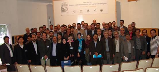
Group photo
ACTIVITIES:
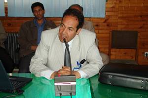
Opening ceremony (16, April 2007)
Welcome speech:
Mr. Sohrabi, Director-General for Engineering and Evaluation Bureau of the
Forests Range and Watershed Management Organization
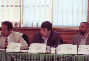
Dr. Abdin Salih, Director and Representatice of UNESCO Tehran Cluster Office;
Dr. Farhad Yazdandoost, President of Iranian Water Research Institute
Dr. Naser Taleb Beydokhti, President of Iranian Watershed Management Society
Dr. Forood Sharifi, Chair of the Expert Meeting and Deputy Head for the
Iranian Forests, Range and Watershed Management Organization
Opening ceremony
Keynote speeches:
APPLICATION OF VEGETATION-EROSION DYNAMICS IN THE LOESS PLATEAU
Prof. Zhaoyin Wang, Tsinghua University, China
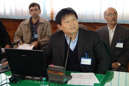
Knowledge points:
1. Introduction of Loess Plateau, the huge semi-arid area with high soil erosion
2. Vegetation-erosion dynamics and the basic theoretical equation funded
3. Construction of Vegetation-erosion chart and classified 4 zones for vegetation and soil erosion relationship, from poor vegetation (vulnerable erosion) to well developed vegetation (stable areas).
4. Application of Vegetation-erosion dynamics in the loess plateau
5. The efficient methods to control soil erosion by Small watershed management projects in the loess plateau
CONSERVATION OF RESERVOIR STORAGE
��With Special Reference To Sudan��s Experienc
Dr. Ahmed Salih, Sudan
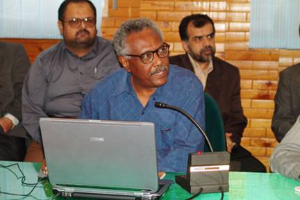
Knowledge points:
1. The global water supply and storage situation implicated that more emphasis on storage conservation; convert today��s non-sustainable reservoirs into sustainable assets for future generation
2. Reservoir capacity conservation types: minimize incoming sediment (source control); minimize sediment deposition within the reservoir; remove previously accumulated sediment; and replace lost reservoir capacity
3. Each reservoir is unique and appropriate conservation measures are site- and case-specific;
4. The provision of properly sized low-level sluices is a key structural element for sediment management in reservoirs;
5. Future conservation measures may shift more towards catchment management and removal of accumulated sediment.
6. Cost effective and environmentally sound technologies for catchment management, sediment removal, conveyance and disposal are urgently needed.
Country report
Country report of Afghanistan
Country report of China
Country report of Tunisia
Country report of Turkmenistan

Country report of Afghanistan Country report of Tunisia
Country report of China Country report of Turkmenistan
Knowledge points:
1. Basic situation of water and soil erosion in the Country;
2. The relationship between the socio-economic and soil erosion
3. The main problems have to be faced to in different country of water and soil loss;
4. The main application measures of water and soil conservation according to the different condition.
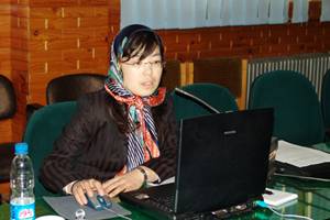
Presentations:
According to the objectives and topics of this meeting, many presentations submitted. The themes cover widely and completely about relative fields, such as watershed management, soil erosion, landform classification, river sediment transportation, reservoir sedimentation, etc.
In order to soil erosion and sedimentation control, some sophisticate techniques are summarized and fresh technologies are discussed. such as geomorphology approach, sampling and monitoring measures, traditional methods, remedial & mitigation measures, physical modeling, mathematical modeling, etc.
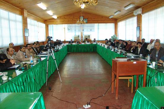
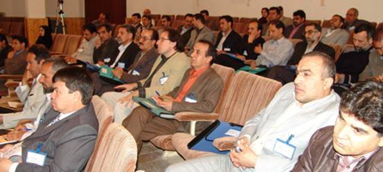
Meeting room
Study tour:
Visit Sefidrud Reservoir
Sefidrud Reservoir locates in Sefidrud River, with 105m high and 18 million m3 capacity. It is far from the biggest reservoir but it is a typical reservoir with high sediment load and serious sedimentation problems in Iran. The main functions of Sefidrud Reservoir are irrigation, power plant and flood control.
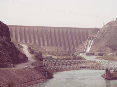
Sefidrud dam
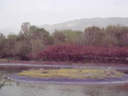
A lake in Botanic garden
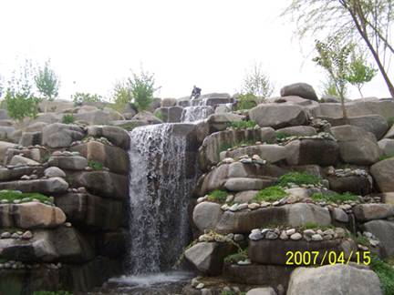
Artificial waterfall in Botanic garden
Visit Botanic Garden in Tehran
The national botanic garden of Iran was founded in 1968 with area of 150 ha. The local precipitation of baotanic garden is about 240mm between November and May next year. The temperature reaches as much as 42~43 ��C during July and August; and falls to -10��C or lower in winter. The natural vegetation of the area is dry Artemisia sieberi steppe. There are totally 14 sections in the garden, besides one nursery and greenhouse.
The national botanic garden is planned to be the main centre for horticulture and plant taxonomy in Iran.
(by Hongling SHI, IRTCES)